The Three Lochs Way Official Website
A fascinating walking route linking coastal communities fringing Scotland's first national park
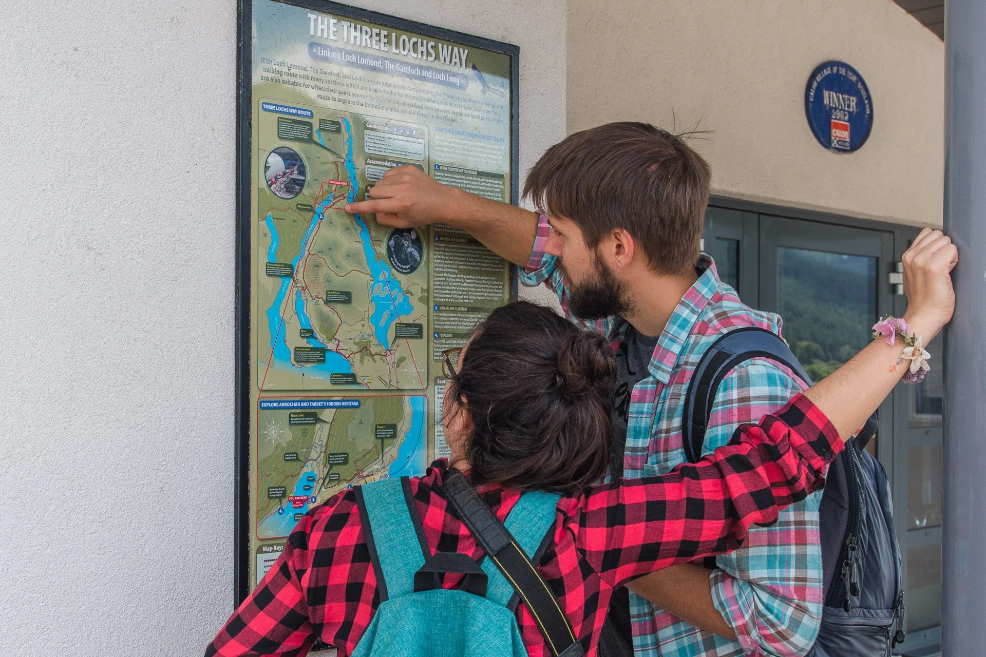
Walk or Cycle The Three Lochs Way
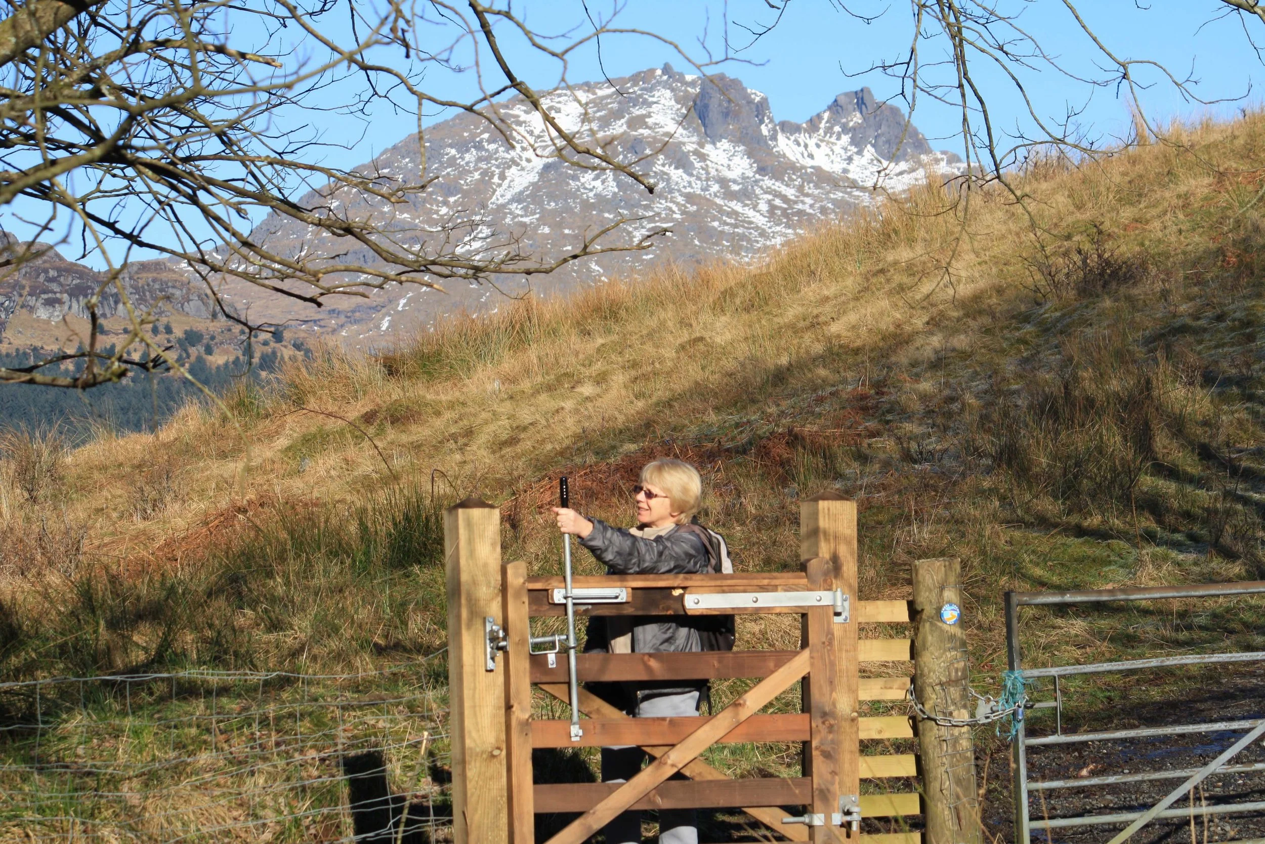
Gentle landscapes are gradually replaced by the scenic drama of mountain, crag and loch as the Three Lochs Way crosses the Highland Boundary Fault and heads towards the mountains of the Southern Highlands. With Loch Lomond, The Gareloch and Loch Long as recurrent scenic backdrops, the Three Lochs Way takes you on a fascinating journey through place and time as it links a necklace of communities strung along the Clyde Sea Lochs fringe of Scotland's first national park.
Rarely rising above 250 metres, the route is 55 kilometres (34 miles) and can be walked in 3 to 4 days. With the West Highland Railway line never far away, it also offers plenty of options for shorter day walks. Total ascent is approximately 1,500 metres.
The Three Lochs Way: Top Ten Highlights
Stoneymollan Road is a delightful ancient route linking Balloch and Cardross.
The stunning view over Loch Lomond when you cross the Highland Boundary Fault at Goukhill Muir.
Helensburgh’s beautiful tree-lined streets are especially colourful in Spring and Autumn.
Charles Rennie Macintosh’s elegant domestic architectural masterpiece, "The Hill House".
Peaceful Glen Fruin (but not in 1603 when 300 Macgregors routed a much larger force of Colquhouns in a major clan battle at the head of the glen).
Great views north of Garelochhead over Loch Long to the knobbly skyline of ‘Argyll’s Bowling Green’ and the ‘Arrochar Alps’.
Craggy Ben Arthur otherwise known as ‘The Cobbler’, the area’s finest mountain and a must climb ‘Corbett’.
Delightful Glen Loin Woodlands, home to red squirrels.
The impressive Sloy hydroelectricity installations were built at the end of WWII with help from German POWs.
A traverse of the fine Munro, Ben Vorlich, from Loch Sloy over to Ardlui makes a great way to top off your Three Lochs Way experience.
Geocaching on The Three Lochs Way
The Three Lochs Way is popular with geocachers. For more info, check out www.geocaching.com
Three Lochs Way Multi-use Notes
The Three Lochs Way is a 34.5-mile long-distance route. Although developed and promoted primarily for walkers, much of the route follows broad tracks and paths that are also accessible by bike or horse. Download Information Here.
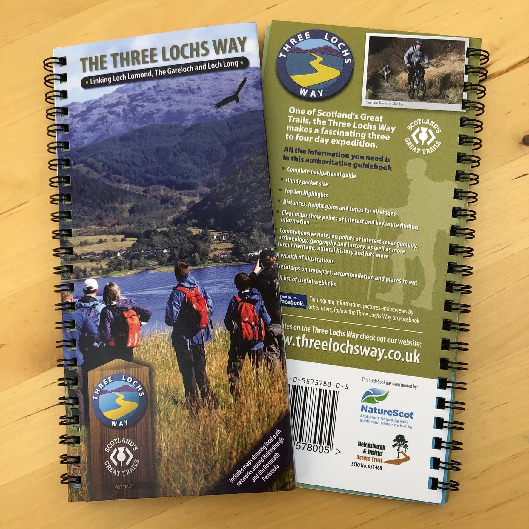
Purchase the official guidebook for the Three Lochs Way, one of Scotland’s Great Trails. Plan your walk by Loch Lomond, The Gareloch and Loch Long and follow the maps through place and time as it links a necklace of communities strung along the Clyde Sea Lochs fringe of Loch Lomond and the Trossachs National Park.
All the information you need, including interpretation, is in this handy map sized authoritative guidebook. Delivered only within the UK.
Guidebooks can also be purchased direct from Loch Lomond Gift House in Balloch and from Helensburgh Cycles and Destination Helensburgh/Highlandman’s Way Gift Shop.