Arrochar to Inveruglas
Tarbet Station to Inveruglas Car Park
9.5km, 6 miles. Ascent about 411m.
This comparatively short section utilises good paths, tracks, and the Sloy Hydro road, providing an easy, scenic finish to your Three Lochs Way experience. Below you will find pictures from the route, directions and an interactive map. Click here to purchase the official guidebook.
Map files courtesy of Argyll and Bute Council. Reproduced by permission of Ordnance Survey on behalf of HMSO. © Crown copyright and database right 2009. All rights reserved. Ordnance Survey Licence number 100023368
Directions: Stage 4 of Three Lochs Way
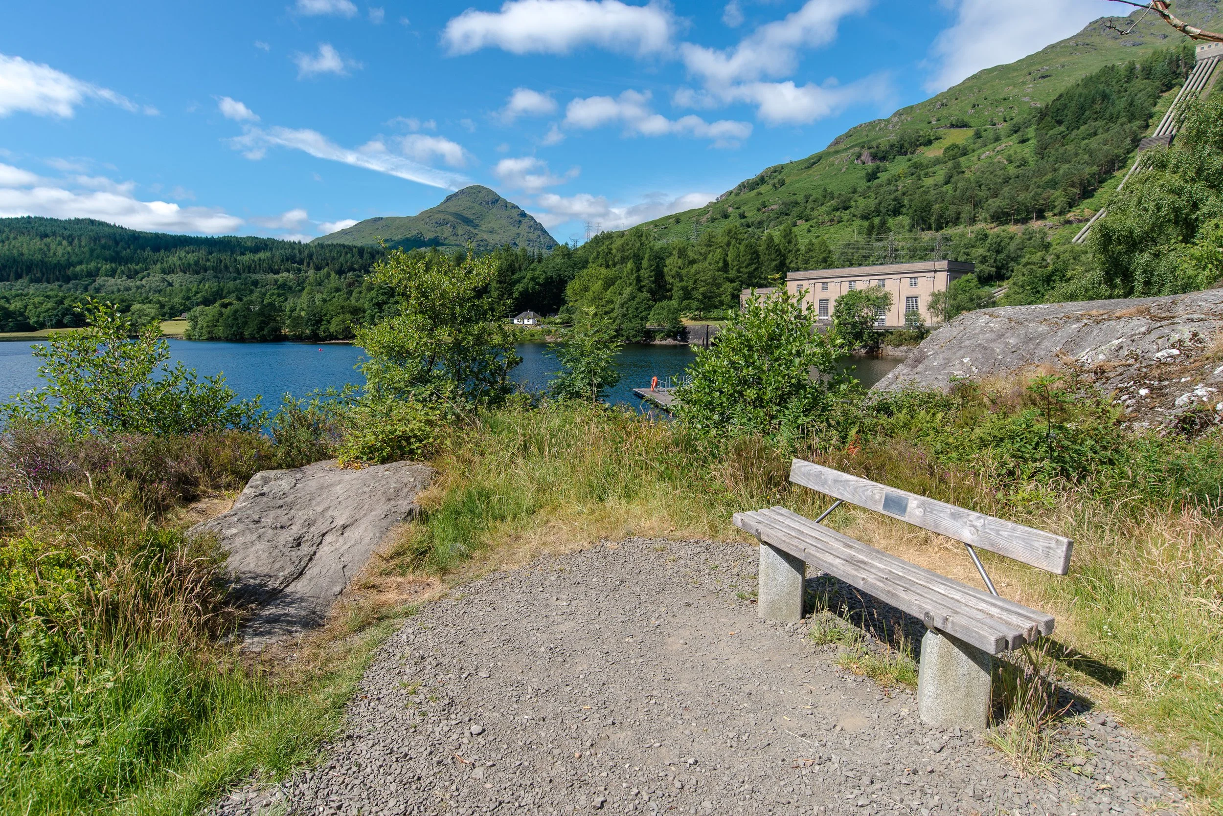
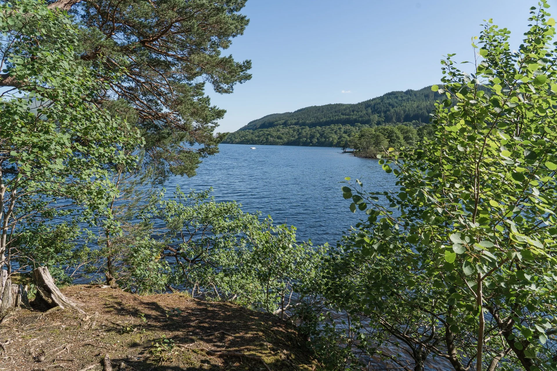
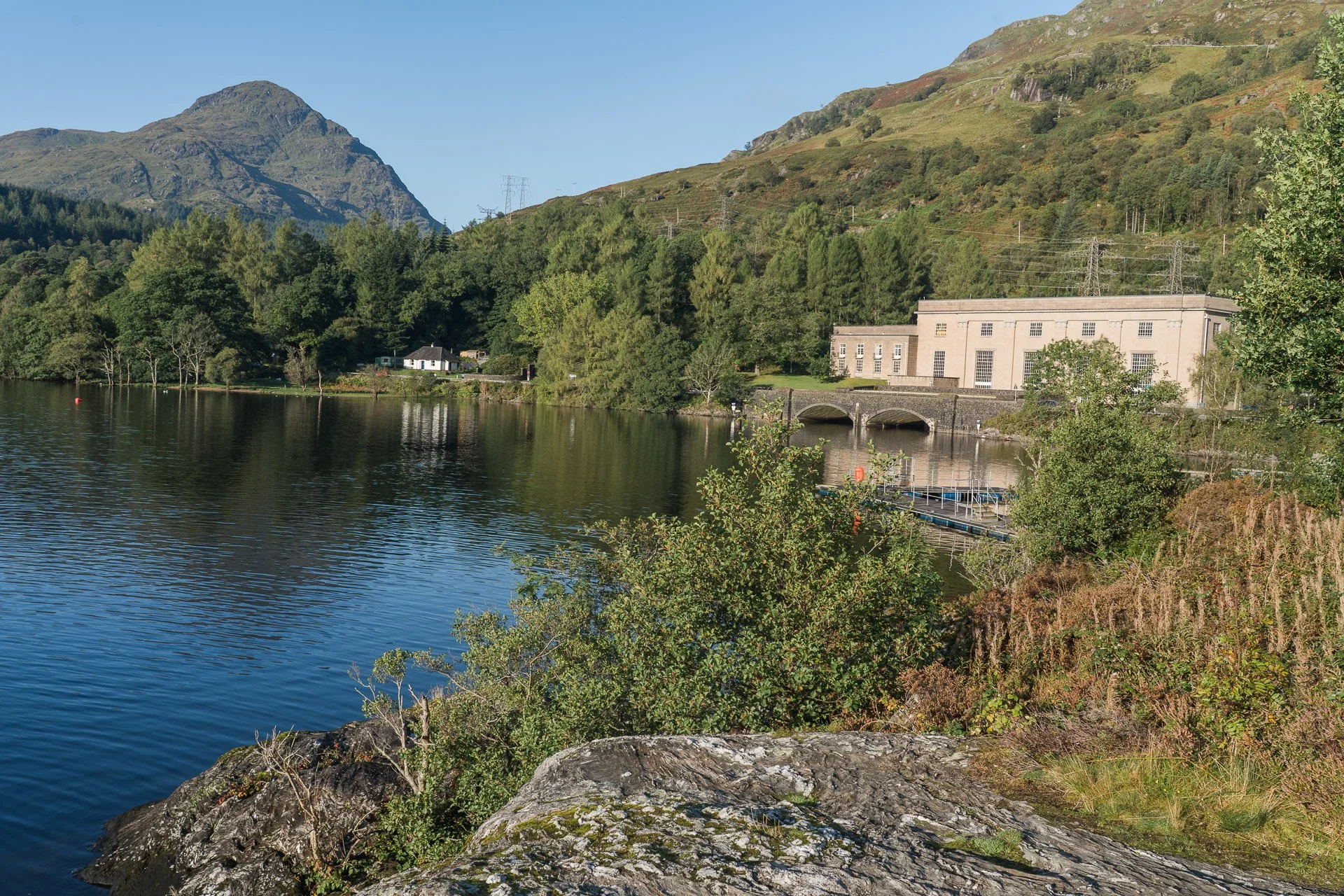
Starting through the Tarbet Station underpass, the Way immediately strikes up to the left and soon you have good views over Arrochar and Loch Long to The Cobbler, always an impressive sight. After a kilometre, the path swings around to the north and enters the delightful Glen Loin woodland, which is a Site of Special Scientific Interest, a particular joy in spring and notable for sightings of Red Squirrels. 3 km further north, the path climbs up over a low bealach to Coiregrogain, which is spectacularly hemmed in by the surrounding peaks of Ben Vorlich, A Chrois and Ben Vane. Before making the easy 3.5 km descent from here by the hydro road to Inveruglas, the detour up to and across the impressive Sloy Dam is well worth the additional 6km.
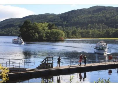
The last kilometre lies along a footpath by the dangerously busy A82 - take care when crossing to the Inveruglas Car park, which marks the northern terminus of the Three Lochs Way.
Important Section Notes
There is now some limited accommodation at Inveruglas at Loch Lomond Holiday Park. Your options for onward or return travel are mostly determined by City Link bus north or south on the A82 (City Link Timetable). At Tarbet there is accommodation and for onward travel you can also access the West Highland Railway line north or south .
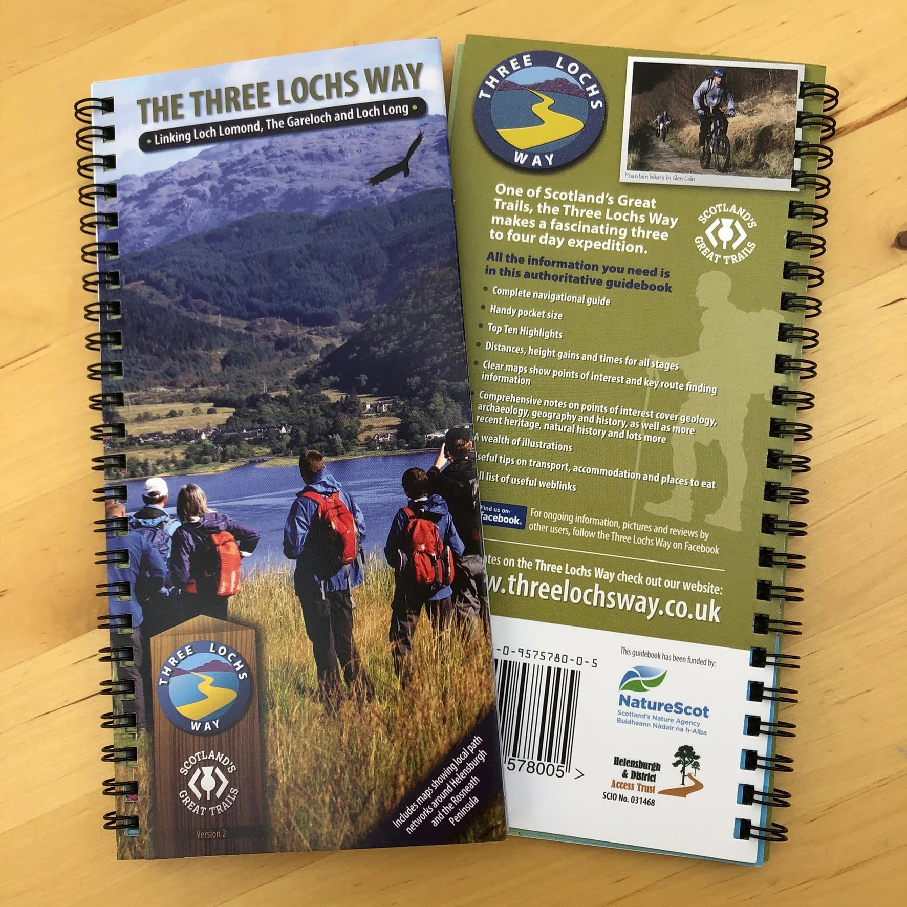
Purchase the official guidebook for the Three Lochs Way, one of Scotland’s Great Trails. Plan your walk by Loch Lomond, The Gareloch and Loch Long and follow the maps through place and time as it links a necklace of communities strung along the Clyde Sea Lochs fringe of Loch Lomond and the Trossachs National Park.
All the information you need, including interpretation, is in this handy map sized authoritative guidebook. Delivered only within the UK.