The Hill House in Helensburgh to the MOD Training Area at Garelochhhead: 10.5km, 6.5 miles; ascent about 200m.
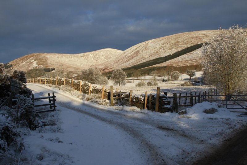
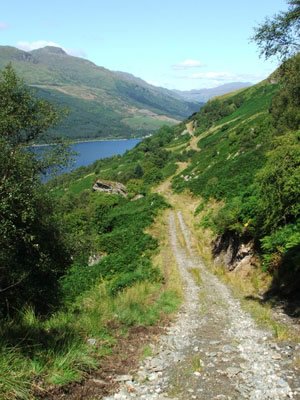
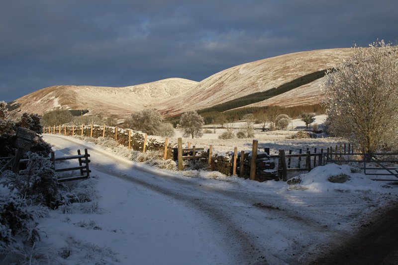
The southern part of the Highlandman's Road has been improved recently and in general this is an easy walk, with a substantial mid section on the quiet minor road through the gently scenic Glen Fruin.
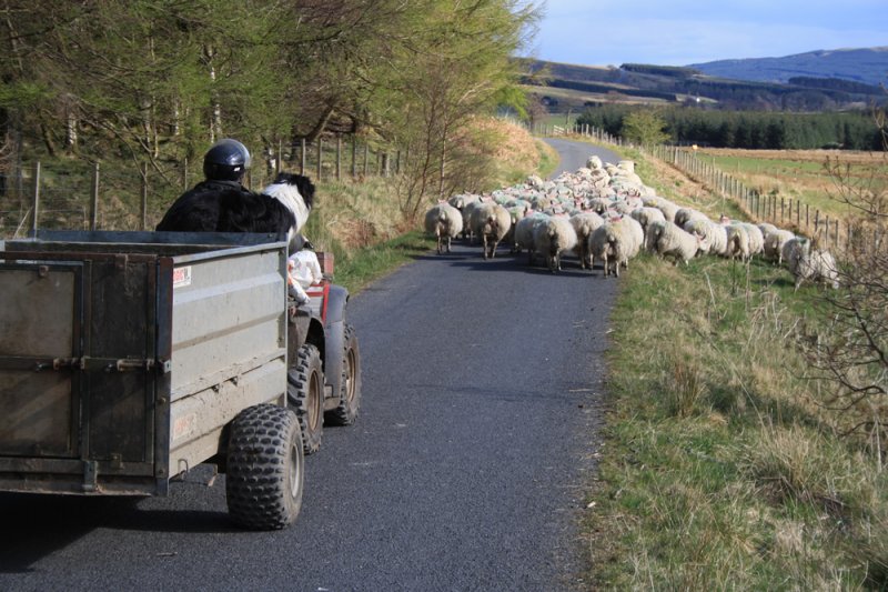
Cows like to hang around on the Highlandman's Road and great care should be taken here in spring and early summer as they can be very protective of their young calves. Dogs should be kept on a lead over this section.
Map files courtesy of Argyll and Bute Council. Reproduced by permission of Ordnance Survey on behalf of HMSO. © Crown copyright and database right 2009. All rights reserved. Ordnance Survey Licence number 100023368
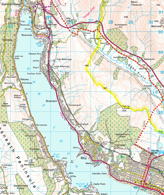
From The Hill House car park (note - if you park in the car park to access the route please note that the gate is closed at 5pm) follow the Helensburgh Upland Way footpath 1 km northwest through woodland before turning off to the right at grid reference 292844.* This is the line of an ancient 'coffin road' known locally as the 'Highlandman's Road' and for centuries it was the route taken by the people of Glen Fruin as they walked to their parish church in Rhu. The whole of this track has been improved recently by Helensburgh and District Access Trust.
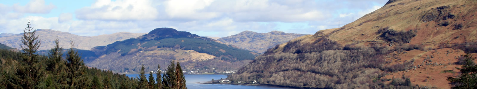
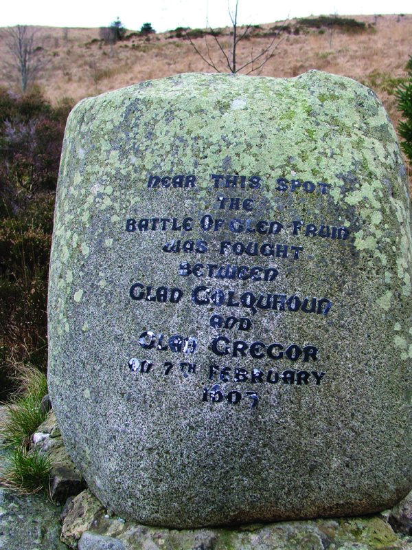
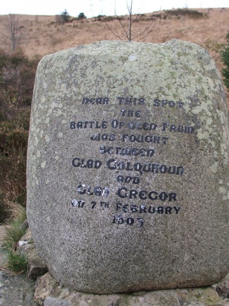
On reaching the northern end of the Highlandman's Road, turn left following HADAT's sign to Garelochhead. You shortly cross the River Fruin at the Black Bridge and then turn left again and head west on the quiet minor road towards the head of Glen Fruin which you reach in about 7 km. At Strone House look out or listen for the peacocks! Just beyond the house there are military buildings that date from World War ll when the installation conducted some of the research and development for Barnes Wallis's "Bouncing Bomb". A little further on an inscribed boulder commemorates the Battle of Glen Fruin (1603) when a force of MacGregors defeated the Colquhouns in what was Scotland's last major inter clan battle.
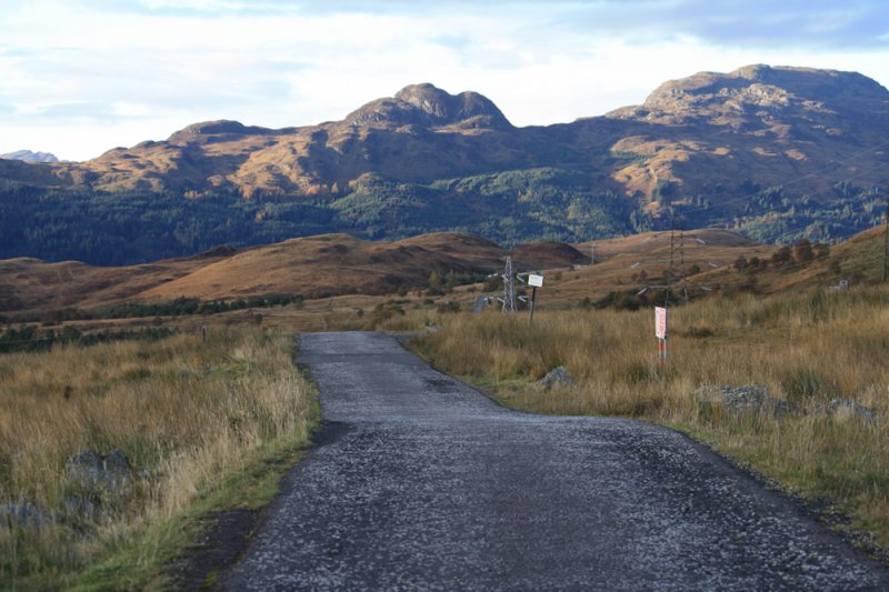
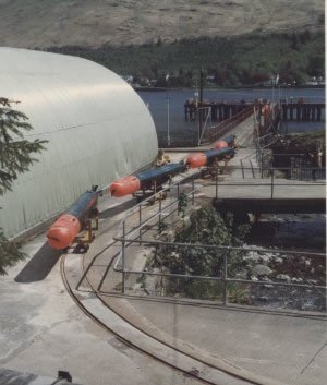
A half km further on, at spot height 197, grid ref 261899, the third section of the Three Lochs Way begins at the southern terminus of the "Yankee Road". This road was built by the Americans as part of the "Lease Lend" arrangements at the beginning of World War II. This is also the southern entrance to a Ministry of Defence Training Area
If you have booked accommodation in Garelochhead, this is a good location to arrange for your hosts to pick you up. Otherwise access down to Garelochhead is a further 2 km along the Yankee Road at grid ref. 250916, marked by a building and a gate where you can get down to Garelochhead by a zig - zag and partly trackless 1.5km route, temporarily waymarked by Three Lochs Way discs (purple dots on OS map). You begin by going through the gate on the west side of the road before heading south for 400 m following the fence line down to a dry stane dyke where you turn right. Now follow the dyke west downhill for 300m before entering a little wood. Heading south once again a roundabout at 247911 is reached after 150 m. Cross the busy A814 just north of the roundabout and go through the metal self closing gate to join the SUSTRANS cycle path which emerges on Station Road just downhill from Garelochhead Station (If permission from Defence Estates can be obtained along with funding it is hoped to formalise and improve the upper part of this link in the future).
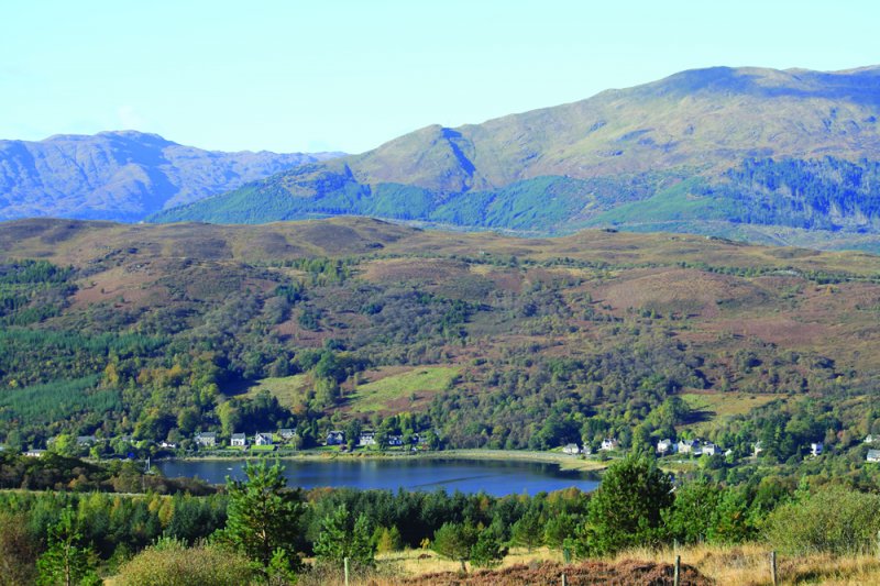
You can also reach Garelochhead from grid ref 261899 by continuing on down the minor public road. This gives an alternative slightly longer route (4km) to the village. Turn right when you reach the A814 and walk along the pavement to Garelochhead past the somewhat scary security fencing surrounding the huge Faslane Naval Base.
*The sign at this point also indicates the way down to the attractive village of Rhu where the magnificent Glenarn Garden is well worth a visit. 200m past the sign, look out for the interesting "cup marked" boulder on the left (see guidebook for more details).


Our Funding Partners


 The Three Lochs Way is managed and maintained by the voluntary efforts of members of Helensburgh & District Access Trust which urgently requires funding for improvements to the route. Find out more on how you can help.